My name is Heidi and I come from Helsinki, Finland.
With my husband Olli-Pekka and our 3 dogs we live in Gran Alacant and enjoy the brilliant Mediterranean climate and possibility of discovering new hiking routes all over our Alicante province and sometimes even a bit further.
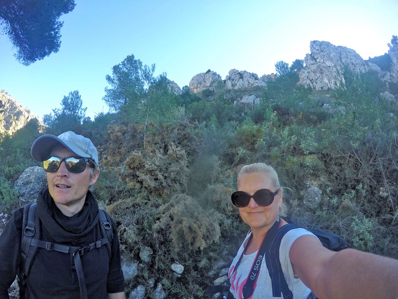
Ironically, I have a fear of heights, but I love the views from tops of the mountains too much to stay away. Our dogs are getting older so all the hikes need to be suitable for them too as they always go on our adventures with us. I also love photography and always take load of pictures from our hikes.
This month we are taking you to the enchanted ravine. The route is mostly unmarked, so you need to think about how the route continues. In few places there are painted signs to guide your way. But it’s still quite an easy route as you can see the landmarks all the time around you.
This is the route on map. You can park your car in the village of Planes or park it next to CV-711. There are few wider places that makes it possible.
Driving Time: 1hr Walking Time: 4hours Google maps directions: corner of Carrer de Ľ Ermita, 45, 03828 Planes & CV-711

Start walking uphill CV-711 and you will see a foot path going zigzag uphill towards Ermita del Santo Cristo. Once you see the writing on the wall “Viva el…” you have confirmation you are on the right path.
From Ermita del Santo Cristo continue the road downhill. Once the asphalt road comes to a T-shape, continue straight down to a smaller road. There’s a painted blue arrow on the right side of the part.

Continue uphill. On your right hand side there’s a small foot path going straight up, choose that. It also has the white and yellow stripes to mark the path. You will go over the hill to the other side where you will reach another asphalt road, continue right.
You will soon see a lovely bridge when you go downhill. Follow the asphalt road until you have walked along the bigger road facing you (CV-700) for one curve and then choose the smaller road facing left so that the lovely bridge will be on your backside. Continue this road until your reach the sign “Atencion zona…”

Walk down the steps and you can experience the beautiful Gorg del Salt waterfall. During summer months you can actually have a swim there (just be careful)! A place definitely worth seeing.
After Gorg del Salt we took a lunch break following the river further. (The little red stray off route on the map.)

DCIM100GOPROGOPR4216.
This route is fantastic because it does not require that difficult terrain, but also it contains very different landscapes.
The climb up to the Ermita gives you fantastic views over Planes village and it’s surroundings. Gorg del Salt and walk along the river is lush green and beautiful. You can hear the river flow. After Gorg del Salt you can turn back and walk the same way back if your feet can’t handle a walk up the gorge. If you can handle it, I strongly recommend it. It’s one of the most gorgeous ones I’ve seen. No wonder it’s called enchanted ravine (barranco de la encantada)!
So to continue walk along the river from Gorg del Salt. We will go around the mountain. The river will stay on our right side. Once you see few houses, continue to the dirt road right into the woods. After few meters you will see steps and a gate on your left side. It will have the white and yellow path stripes to indicate you are on a right track. Soon the path will get more narrow and you will start to climb up the hill. Enjoy the vista!
Once uphill you will see a fence and a house on your left side. Follow along the fence and you will reach a small road coming to the house. Continue up and you’ll reach an asphalt road. Continue to follow it left and you will reach the village of Planes.
The whole route is about 11km with climbing of about 400 meters.
Hope you enjoy this lovely hike,
See you next month,
Heidi & Olli
Ps. If you just want to have a refreshing swim in Gorg del Salt, just put that to your destination and you can drive right next to the steps to the waterfall!

