My name is Heidi and I come from Helsinki, Finland.
With my husband Olli-Pekka and our 3 dogs we live in Gran Alacant and enjoy the brilliant Mediterranean climate and the possibility of discovering new hiking routes all over Alicante province and sometimes even a bit further.
Ironically, I have a fear of heights, but I love the views from the top of the mountains too much to stay away. Our dogs are getting older so all the hikes need to be suitable for them too as they always go on our adventures with us. I also love photography and always take lots of pictures on our hikes.
Driving Time: 1hour 10mins
Walking Time: 3,5 hours
Google maps directions:
Parroquia de la Garapacha, Lugar Corró de la Iglesia, 0 S/N, 30629 Garapacha (la), Espanja
We left our car near the church in La Garapacha, Fortuna, Murcia. Google Maps finds Parroquia de la Garapacha nicely and gives good driving instructions If you drive via Fortuna, you start to see signs indicating your route to La Garapacha.
We parked our car close to the signs near the church. There are few parking places
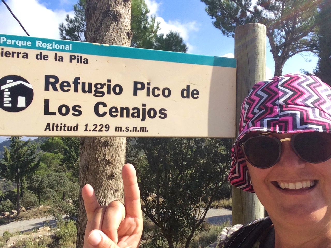
there. Don’t walk to the church to your right, continue left from the signs. You’ll see a small hill going left, with the sign Sierra de la Pila. Follow those signs through the village. You go up and come back down the same way on this hike.

This sign indicates straight up, but you are supposed to choose right. There are opaque white/yellow route signs visible occasionally. If you see one, you know you are on the right track.

When you see cross roads with asphalt going right and dirt road going left, choose the left dirt road. From this point you can walk fairly long uphill without the risk of getting lost from the route.

After walking for about 3 km, you’ll see this cross road with the fallen sign. Hopefully the sign has been fixed. Choose right here. You’ll see a small path going down a bit to a small valley, and then it starts to climb up.

That’s us on the small path and the peak you see behind is Pico de los Cenajos.
You need to walk along the path and after going down a bit you’ll reach another asphalt road.

If you look closely you’ll see that there’s s narrow path on left side going into the woods. That’s when you are coming down when going to the peak. And when coming back down that’s what you need to find to be able to get to the other side of the mountain where you climbed up. The Rest of the way is easy. There are good signs to help you. You can choose to go to the meteorological ball or the mirador which we chose.

Next month we go on foot again.
Hasta luego,
Heidi & Olli
Check List:
Always when going on hikes check that:
Your Mobile Phone is fully charged
Water – climbing up is hard job & you will need it
Snacks (Remember to take all the garbage back down with you!)
Have good shoes for walking
Have small first aid kit with you
Have layered clothes. Up hill might be
– very windy and cold, even on a warm day.
– Coming down might be chilly, so extra dry
– t-shirt to change into if needed is not a bad idea
Always tell someone where you are going and when you’ll approx. be coming back

