My name is Heidi and I come from Helsinki, Finland.
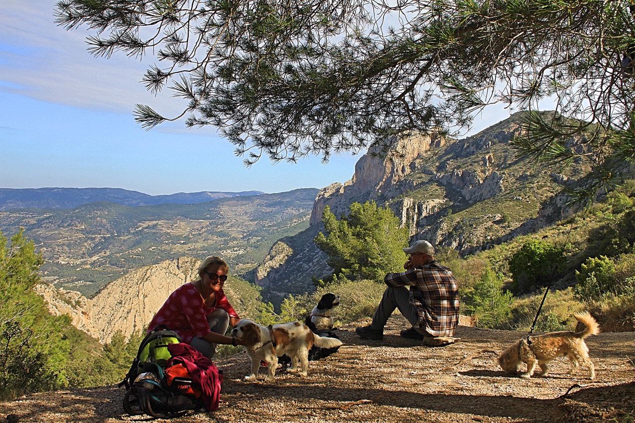
With my husband Olli-Pekka and our 3 dogs we live in Gran Alacant and enjoy the brilliant Mediterranean climate and possibility of discovering new hiking routes all over our Alicante province and sometimes even a bit further.
Ironically, I have a fear of heights, but I love the views from tops of the mountains too much to stay away. Our dogs are getting older so all the hikes need to be suitable for them too as they always go on our adventures with us. I also love photography and always take load of pictures from our hikes.

This is my favourite hike and my Christmas present to all the hikers who have not discovered this mountain yet. The circular route is quite easy. The challenge is the elevation and the distance.
In spite of what its name would literally indicate, “Cabezón de Oro”, or the old gold mine that would exist in the place, the word Gold does not make reference to the mineral of the gold, but to the water. During the Al-Andalus period, the Arabs kept the Iberian word “Ur” to refer to this mountain, which means “Water”, since water flowed inside it (Cuevas de Canelobre).

You’ll find the starting point easy following Google Maps to Cuevas de Canelobre / Canelobre Caves. From Busot area you can see road signs to the caves. About 600 meters before the caves you’ll see a long parking area on your left side with the route information sign post next to it. This is where we leave our car and continue on foot towards left facing the mountain to route PR-CV 2.

The first part of the route is on the shadowy side. It’s a long hike up, so we preferred to do that on the cooler side of the mountain. The signs for this route are very good. Both times we’ve hiked this route, we saw lots of other hikers too, so you’ll most likely have a chance to ask for help with directions if needed.

You’ll have the option to go up to the peak of Cabezón de Oro (1210 m above sea) which is a separate leg from otherwise circular route. I have tried to go up, but at 1050 meters the path got too narrow and steep for me and the views were pretty stunning already.
Once you reach the top of the mountain with in the circular path you’ll reach the sunny side of the mountain.
You’ll go down a long way and you start to feel your legs. And just when you think that the rest of the route is fortunately just downhill, you’ll reach a point where you start climbing back to the caves. This is the part of route that was a bit difficult to follow. Just keep an eye on the X-marks that indicate where not to go, and you should be able to find your way. Remember shortly after the few houses that you have passed on the road, you start going uphill again. The path up is narrow and the pipeline on the hill will remain on your left side when you start going up.
When you reach the caves, there’s toilet and a little kiosk where you can buy cool refreshments or coffee. Naturally you can also visit the caves. There are picnic tables so you can just sit down and enjoy the view and refreshments. You deserve it after this hike!!!
Merry Christmas and a Happy
New Year 2019!
Heidi & Olli
Check List:
Always when going on hikes check that:
Your Mobile Phone is fully charged
Water – climbing up is hard job & you will need it
Snacks (Remember to take all the garbage back down with you!)
Have good shoes for walking
Have small first aid kit with you
Have layered clothes. Up hill might be
– very windy and cold, even on a warm day.
– Coming down might be chilly, so extra dry
– t-shirt to change into if needed is not a bad idea
Always tell someone where you are going and when you’ll approx. be coming back
